


Zirn Consulting
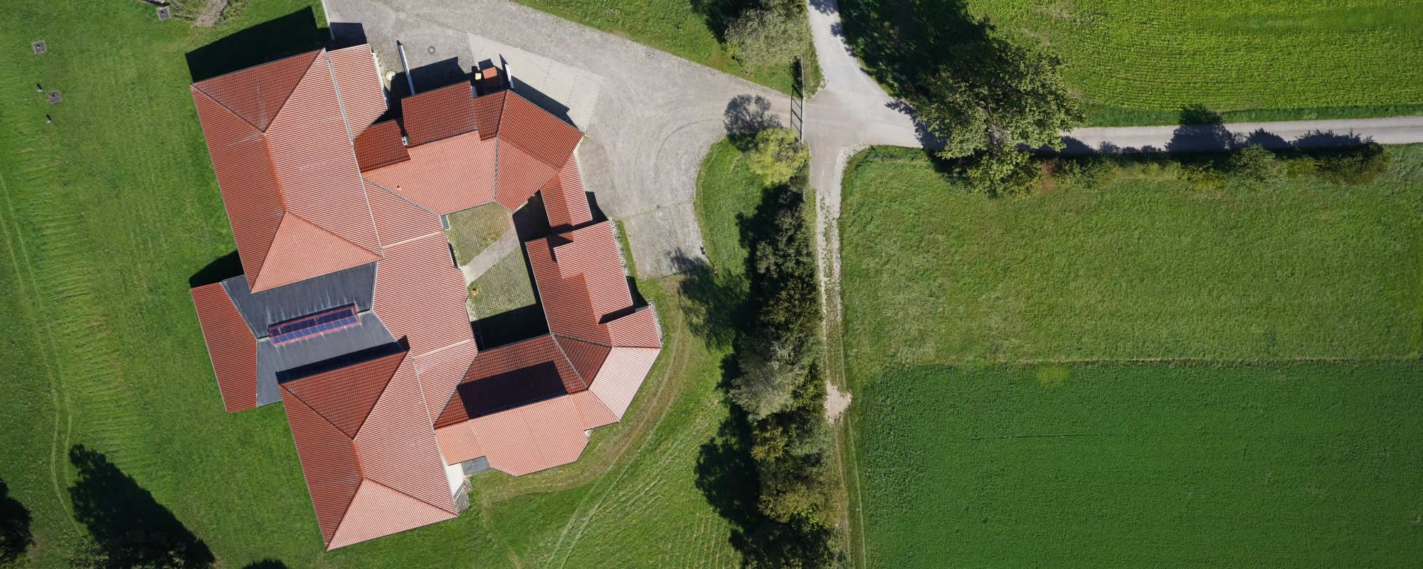
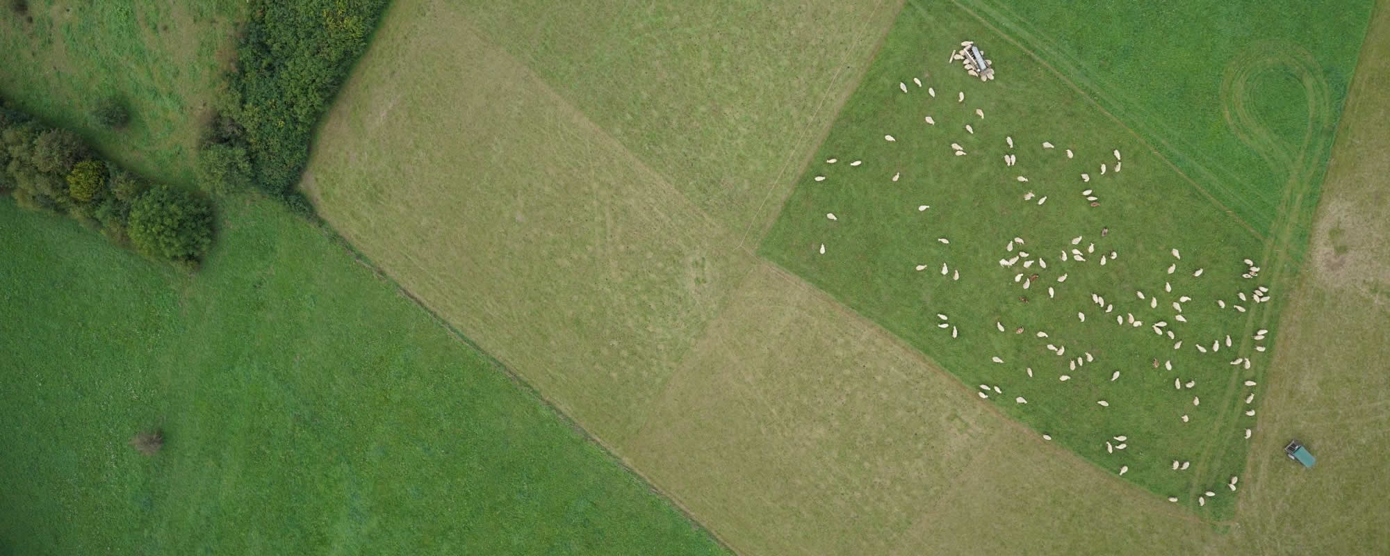
Zirn Consulting sells software for aerial photogrammetry from Trimble. The Trimble® Inpho® software suite offers world-leading solutions for every aerial imaging project.
The optimized workflow converts aerial images into precise, georeferenced images and creates high-quality products such as dense point clouds, orthophotos and orthomosaics and textured 3D meshes.
The additional hardware components associated with an integrated workflow, such as 3D stereo viewing systems, workstations for data processing and other related services are also offered.